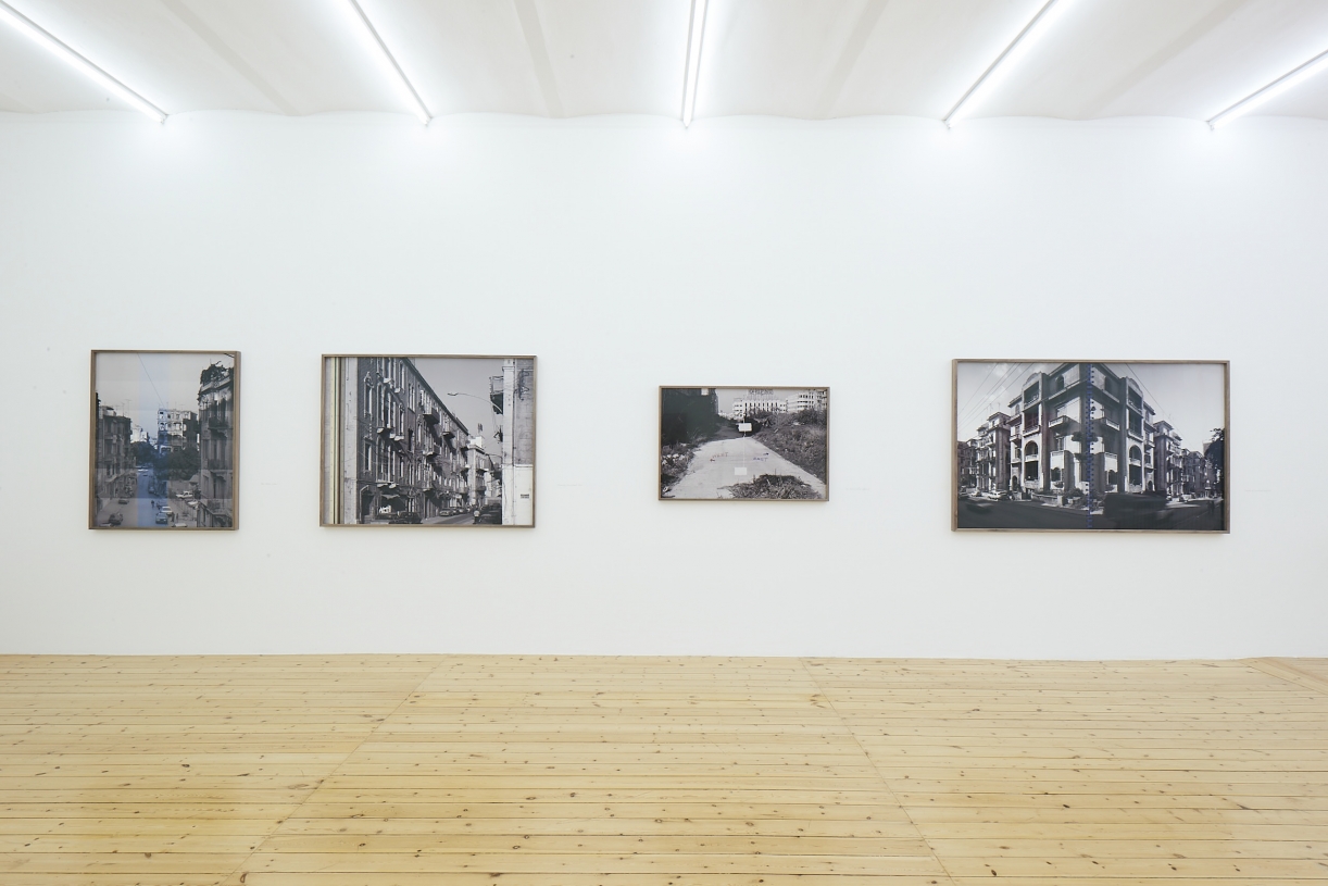
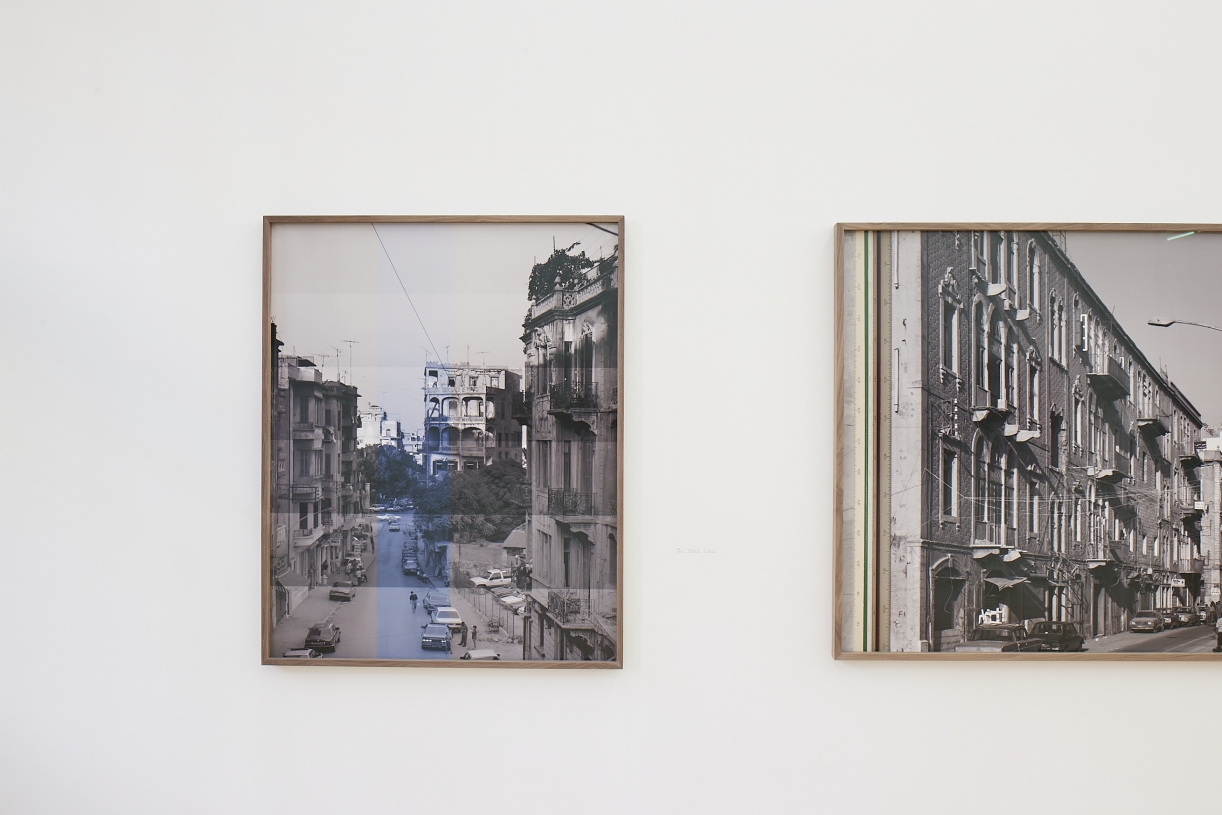
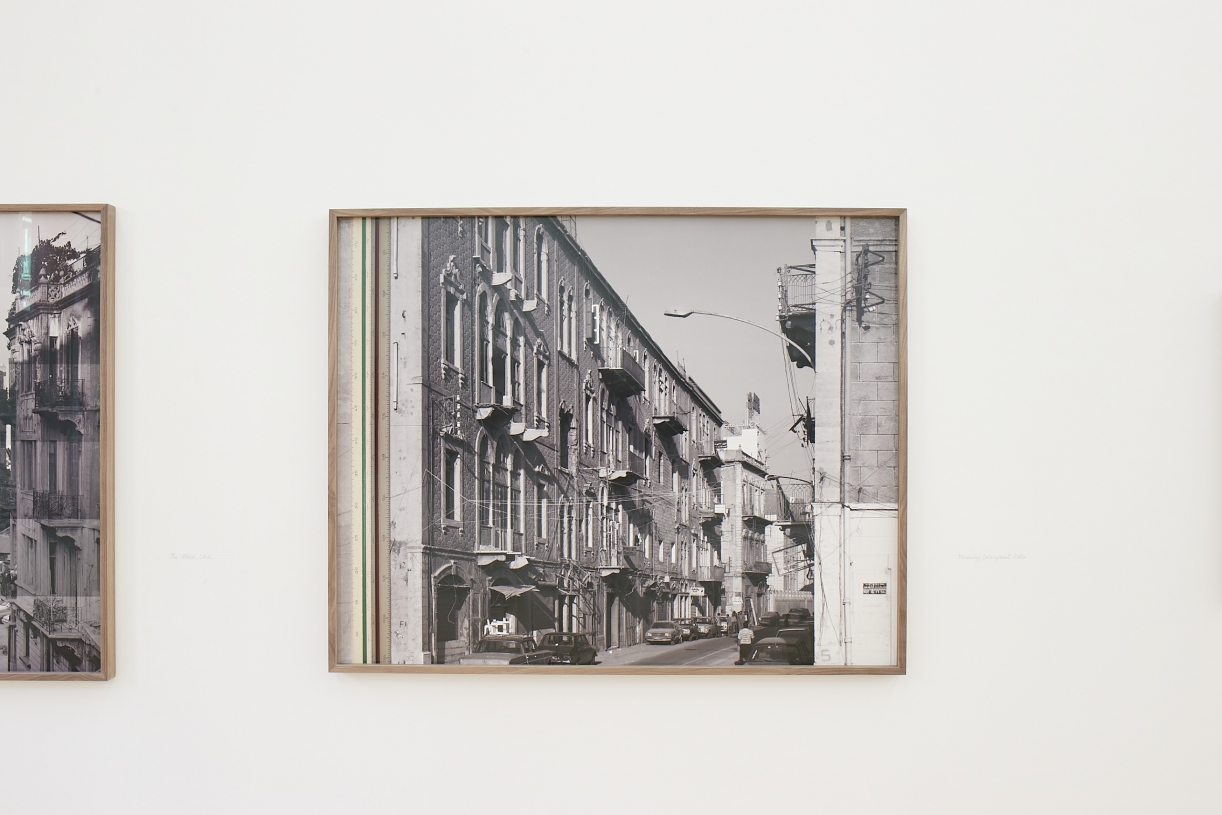
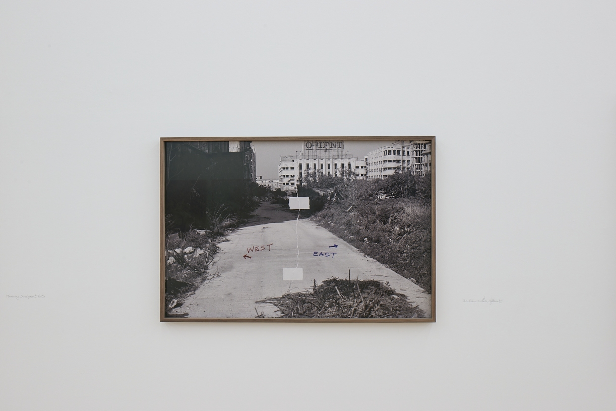
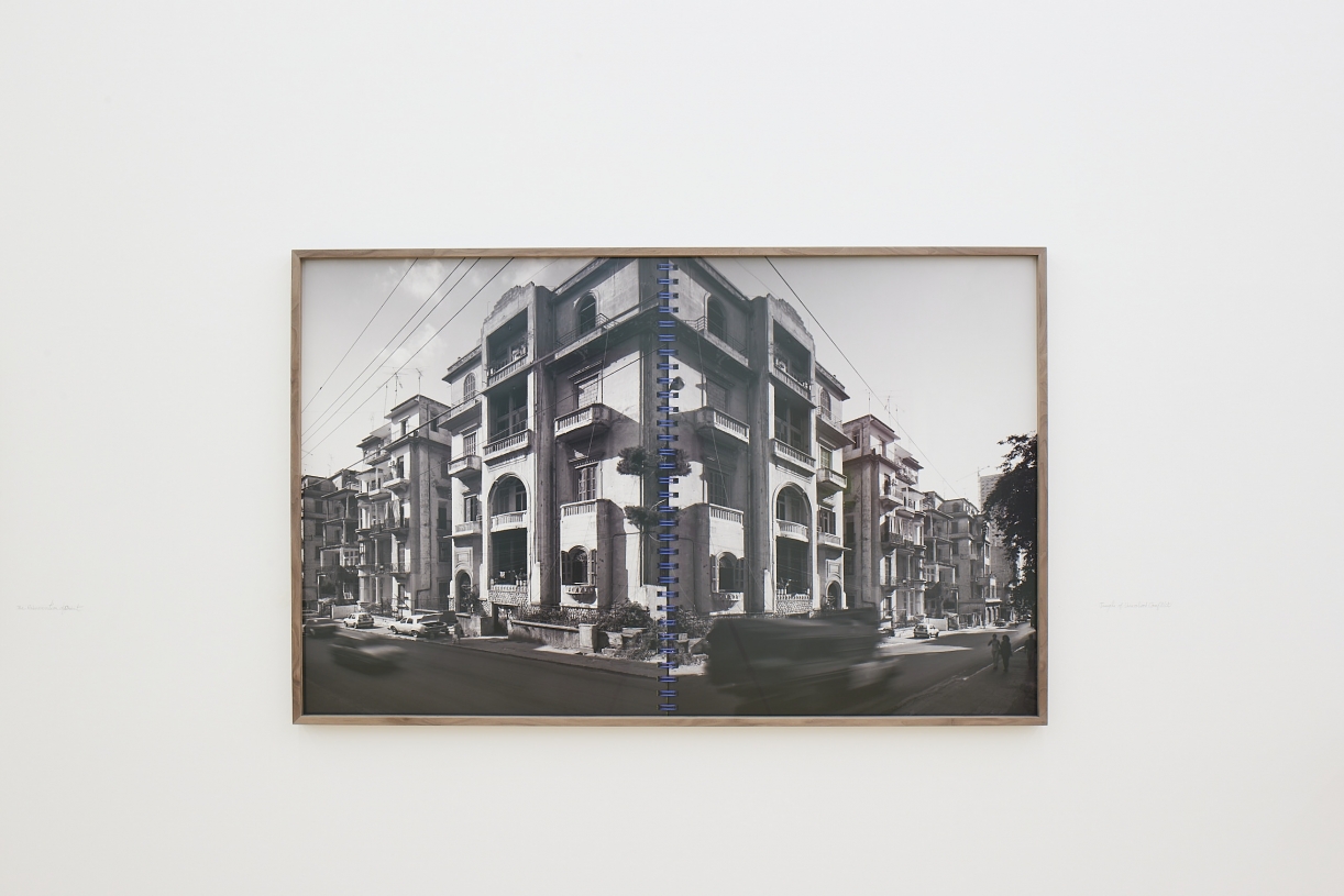
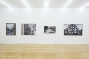
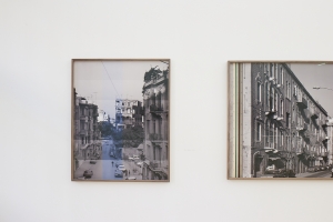
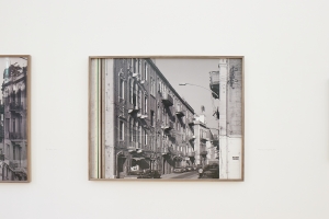
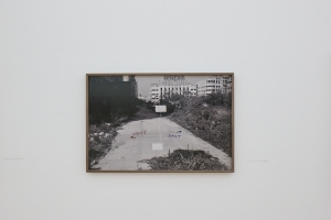
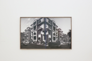
Clone of three snapshots and a long exposure, 2022 (Work)
In the mid-1990s, while the reconstruction project of the city’s downtown was provoking heated debates, Zaatari started documenting the first belt around the city center, with the aim of indexing houses typology for a book project initiated by then professor of Urban Planning and Design at the American University of Beirut, Robert Saliba. The images, taken with a 4x5” view camera, were never used until Zaatari returned to them nearly twenty-five years later. Printed in large formats, the landscapes, which Zaatari qualifies as missing any specific focal points, might have captured an atmosphere of speculation, a gentrification on its way, and an urban transformation, back then still latent in the neighborhoods located on both sides of the green line that had divided Beirut between East and West from 1975 to 1990.
Clone of Tabnit Monolith, 2022 (Work)
The Tabnit Monolith, 2022
The Tabnit Monolith, 2022, installed hanging from a simple and primitive crane, is a replica of a giant monolithic boulder that sealed king Tabnit’s tomb almost 1900 years before it was completely destroyed during its excavation in 1887. King Tabnit was a Phoenician king, who ruled Saida in the 6th century BC. The discovery of his mummy alongside 19 sarcophagi in what became known as Sidon’s Necropolis was one of the earliest achievements of Ottoman archaeology under the leadership of Osman Hamdi Bey.
