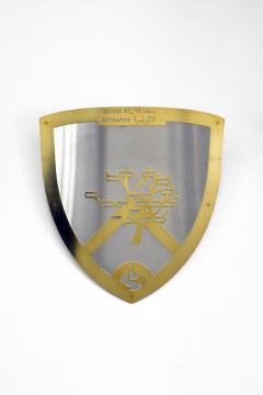
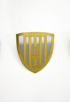
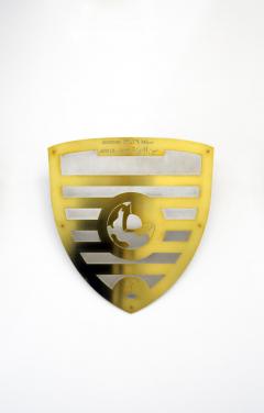
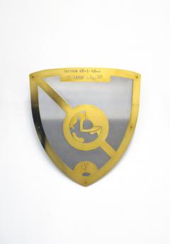
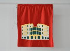
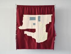
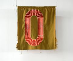
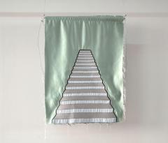
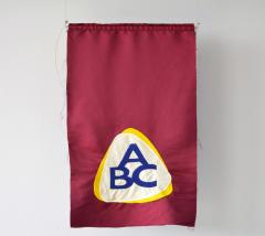
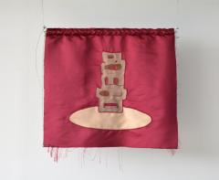
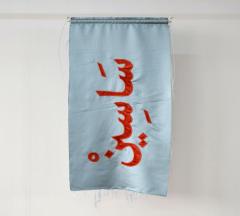
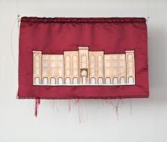
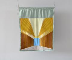
Blazon, 2015
Blazon, 2015
Deriving inspiration from the geography and complex multi-cultural history of Beirut, Rechmaoui's work often reflects themes of urbanization and contemporary social and behavioral demographics. The city, with its familiarities and local anecdotes, becomes a multidisciplinary space for dialogue between architecture, urban planning, political economics, sociology, and history.
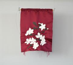
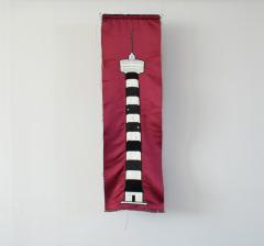
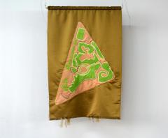
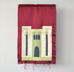
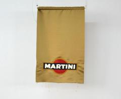
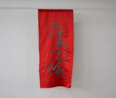
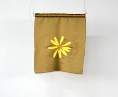
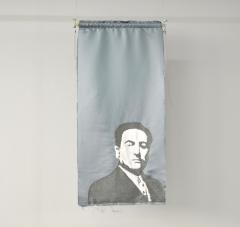
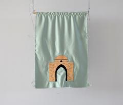
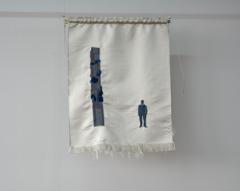
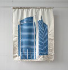
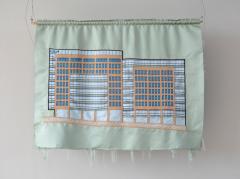
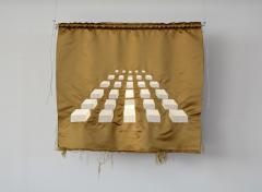
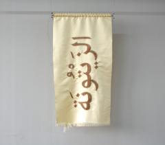
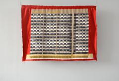
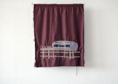
In his work, Blazon, the artist’s initial attempt to predict the new demarcation lines of Beirut after the civil war, evolves into a speculative inspection of the written and oral histories of Beirut’s neighborhood districts. Applying the traditional practices of blazonry, Rechmaoui creates a coat of arms and banners corresponding to each district in the city. The entirety of the gallery space is taken over by more than 400 flags and 59 shields, referring to each neighborhood and sector respectively. He thus creates a fascinating game of attack and retreat, of withdrawal and collision, as an attempt to arrive to a qualitative vision of urban space.
In lieu of mapping urban spaces – a recurring concept in his previous works- the artist does not view the city according to typical urban planning standards, instead he points to socio-political affiliations and etymological histories from each community. He divides the city in accordance with the area’s given names, which in turn are based on geological elements, sectarian symbols/individuals, horticultural references, architecture, or family histories. By understanding the city, its sectors and its inhabitants, Rechmaoui’s project acts as a chessboard of battling shields and banners.
Satellites, 2019-ongoing
Satellites, 2019
Following the same aerial-view logic, and experimenting with the same materials, a series of works dissects satellite imagery of Arab cities. These google maps aerial views of Arab capitals are pixelated grids, which focus on the main landmarks, streets, and neighborhoods.


